
At McAdams, our field crews and office staff are focused on accuracy and timeliness to help our clients achieve their vision.
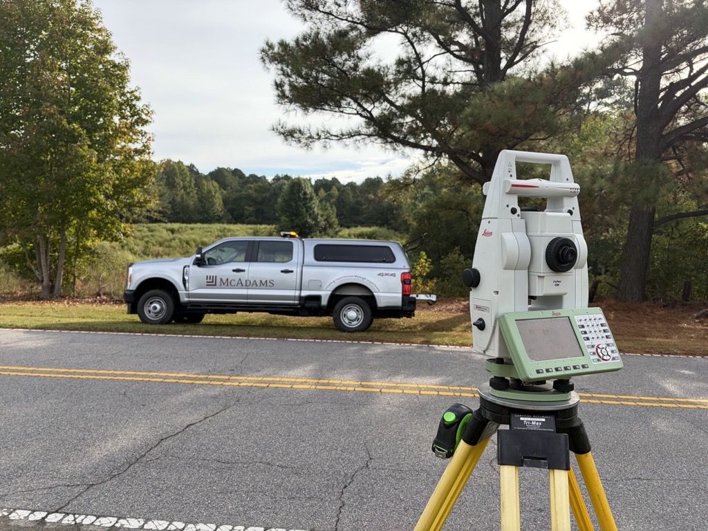
Our team of professional land surveyors are all equipped with the latest field equipment, and our office staff are equipped with the latest software to produce extremely accurate plats, legal descriptions and maps. Our subsurface utility engineering (SUE) team locates and identifies visible and underground utilities early in a project’s design process to avoid costly conflicts and dangerous safety hazards. Our Survey department is knowledgeable about the historical and legal aspects of surveying, working with our other departments to proactively handle a project’s past so that the future vision can be realized.
Number of Crews in Our Metros
McAdams delivers responsive survey support and dependable field services across the states of Florida, North Carolina, South Carolina, and Texas. With field crews positioned throughout our service areas, our teams bring the capacity, experience and local presence needed to support projects of all sizes, helping clients move forward with confidence from planning through construction.

With more than 55 crews located across Raleigh, Durham, Winston-Salem and Charlotte, NC, and Greenville, SC, McAdams provides extensive coverage throughout the Carolinas. Backed by local expertise and regional resources, our teams are ready to mobilize across both states and deliver responsive survey solutions.

Serving one of the nation’s fastest-growing regions, our 7+ Dallas-Fort Worth crews deliver responsive survey services and dependable field support. Our experienced teams provide the expertise and capacity needed to keep projects moving forward across North Texas.

Growing our surveying presence in Florida starts on the ground. Our first local crews are already supporting the market while helping build the field capabilities and capacity for what’s ahead.
Our Services
McAdams’ surveying team provides standalone services backed by the experience and resources of a full service engineering firm when you need them.
Our survey team identifies boundaries, constraints and site conditions upfront, so your designers and engineers work from accurate data. We provide boundary, topographic, route, tree and inventory surveys, ALTA/NSPS land title surveys, plats and recombination’s, delivering the accurate information needed to support planning, design and development projects.
Our SUE team locates and maps buried utilities at any phase of your project, protecting your crew and keeping construction moving. We provide Quality Levels A through D, including utility locating, vacuum excavation, utility designating, visible surface feature mapping and records research. Utility information is delivered in AutoCAD-compatible formats for seamless integration into project workflows.
Using UAS LiDAR, aerial photography, laser scanning, GPS surveying and aerial photo control, our remote sensing team captures precise spatial data efficiently and safely. We deliver topographic mapping, GIS data management, BIM models and project-ready datasets tailored to your team’s needs.
We translate your design plans into accurate field layouts so your crew builds from reliable reference points. From plan review through final staking and as-built documentation, we provide the accuracy and support needed to keep projects on schedule and built as intended.

Geodetic Control Network
Lewisville, TX
Portfolio

High Road Water Line Rehabilitation
Flower Mound, TX
Portfolio
“We are especially pleased to have McAdams providing us with quality consulting at a reasonable price. They are willing to go the extra step to assure project success and strongly recommend McAdams for any of their service offerings.”
Lynn Swank / NC State University

Highland Village Road + Brazos Boulevard
Highland Village, TX
Portfolio


